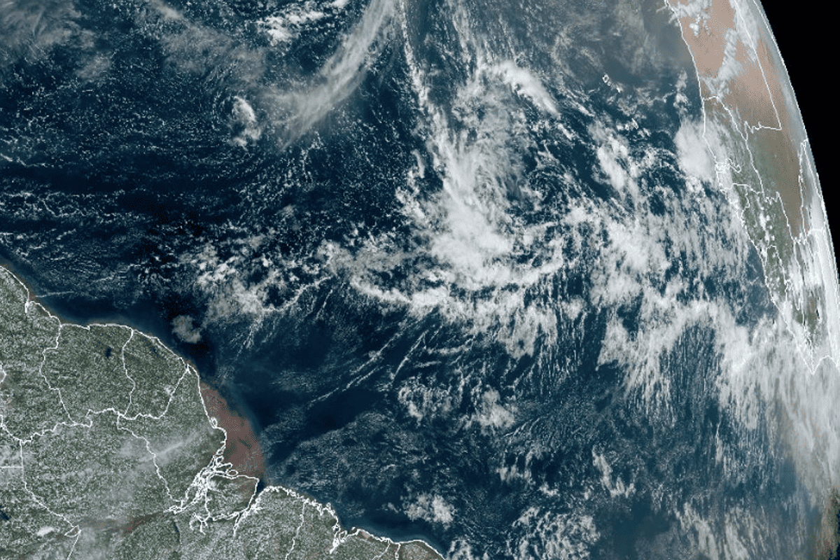
Tropical disturbance forecasted to trek towards North America: path, impacts unclear

Editor’s note: This story contains information as of 2 p.m. ET on Tuesday.
MIAMI – The National Hurricane Center has marked a tropical disturbance off the coast of western Africa “code red,” as it is forecasted with a high chance of forming over the next week, traveling west-northwest towards North America.
As it stands, Hurricane Lee has strengthened and weakened as it sits far away from the U.S. mainland and is forecasted to trek further north, with a precise landfall location, if any, still unclear.
However, the next disturbance on watch has a 80% chance of formation within seven days. It has a low chance of forming within two days.
That disturbance is seen below in red, and if it does manage to form into a full tropical storm, it could take the name Nigel.

It is too early to determine where precisely the disturbance will travel.
Both European and American weather model runs – which are not forecasts – as of Tuesday support eventual formation into a tropical storm or hurricane approaching the U.S., but later turning north. However, that is not modeled to occur until the second half of September, which is too far out for any high-confidence predictions in a storm’s track or strength.
Follow the National Hurricane Center for official track and intensity forecasts for any storm system.


